About the Centre
The Centre for Geoinformatics is developed at School of Planning and Architecture, Bhopal as a nodal centre to disseminate technological know-how and to maintain a digital data bank with the State-of-the-Art technologies. Training on various related topics such as applications of Geoinformatics in planning are conducted through the centre. The centre enables and endeavours to disseminate the knowledge and the required skills on the latest and emerging spatial technologies.
Objectives
- To conduct and organize training/ capacity programmes in Geoinformatics and Geospatial technologies
- To conduct interdisciplinary research in spatial planning and geospatial applications.
- To support evidence-based planning and decision-making
- To foster collaboration and knowledge exchange
Key Programmes Conducted & Collaborated
- Executive Development Programme titled “Assessing Universal Accessibility through GIS Applications” during 11th – 13th December 2025, in collaboration with Centre of Urban Planning for Capacity Building
- An online certificate course “Geospatial Techniques for Environmental Modeling” in July–August 2024 for students, professionals and practitioners in collaboration with the Department of Environmental Planning.
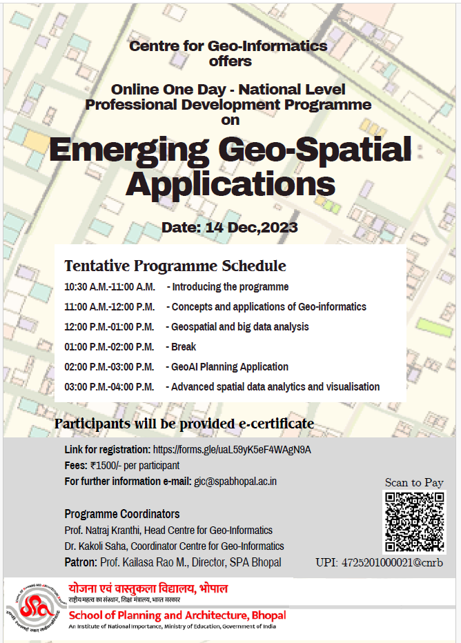
- Online One Day – National Level Professional Development Programme on “Emerging Geo-Spatial Applications” scheduled to be held on 14th December, 2023.
- Awareness Workshop on “GIS and Universal Accessibility” during 9th-12th January 2019.